Land adjacent to 11, The Elms
Introduction
The photograph on this page of Land adjacent to 11, The Elms by John Baker as part of the Geograph project.
The Geograph project started in 2005 with the aim of publishing, organising and preserving representative images for every square kilometre of Great Britain, Ireland and the Isle of Man.

There are currently over 7.5m images from over 14,400 individuals and you can help contribute to the project by visiting https://www.geograph.org.uk
Land adjacent to 11, The Elms
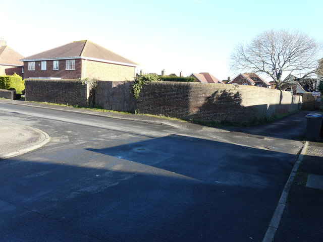
Image: © John Baker Taken: 25 Jan 2016
Planning permission has been granted by Canterbury City Council under application number CA//15/01035 for the erection of “two residential dwellings with associated parking and amenity space”. Number 11 is to the left of the wall. A terrace of three houses, numbered Image, were built on the site.
Images are licensed for reuse under creativecommons.org/licenses/by-sa/2.0
Image Location
Latitude
51.315082
Longitude
1.162735