King Edward Road houses, Brynmawr
Introduction
The photograph on this page of King Edward Road houses, Brynmawr by Jaggery as part of the Geograph project.
The Geograph project started in 2005 with the aim of publishing, organising and preserving representative images for every square kilometre of Great Britain, Ireland and the Isle of Man.

There are currently over 7.5m images from over 14,400 individuals and you can help contribute to the project by visiting https://www.geograph.org.uk
King Edward Road houses, Brynmawr
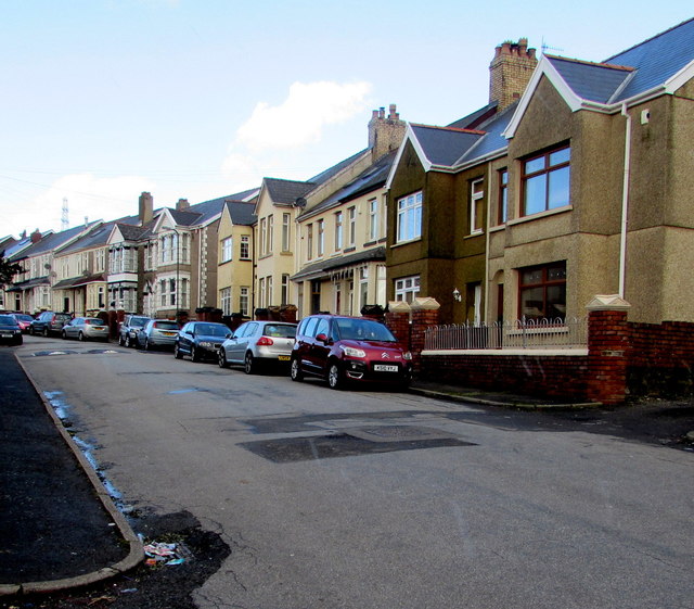
Image: © Jaggery Taken: 2 Feb 2016
On the east side of the road. Brynmawr is one of the highest towns in Wales. Viewed from a point 345 metres (about 1,130 ft) above mean sea level.
Images are licensed for reuse under creativecommons.org/licenses/by-sa/2.0
Image Location
Latitude
51.802165
Longitude
-3.169869