Burley House outbuildings seen from the churchyard
Introduction
The photograph on this page of Burley House outbuildings seen from the churchyard by Alan Murray-Rust as part of the Geograph project.
The Geograph project started in 2005 with the aim of publishing, organising and preserving representative images for every square kilometre of Great Britain, Ireland and the Isle of Man.

There are currently over 7.5m images from over 14,400 individuals and you can help contribute to the project by visiting https://www.geograph.org.uk
Burley House outbuildings seen from the churchyard
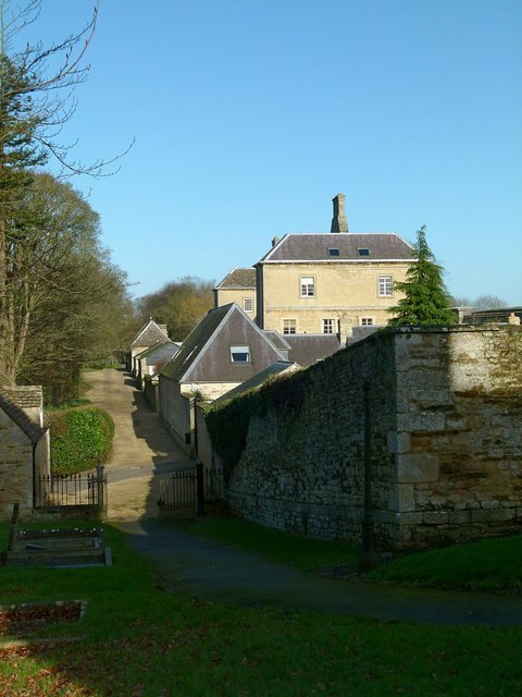
Image: © Alan Murray-Rust Taken: 9 Feb 2016
The tall building was built to provide a matching façade to the stable block surviving from the older house http://www.geograph.org.uk/photo/4824922 .
Images are licensed for reuse under creativecommons.org/licenses/by-sa/2.0
Image Location
Latitude
52.683393
Longitude
-0.695681