Footpath, Perkin's Village
Introduction
The photograph on this page of Footpath, Perkin's Village by Derek Harper as part of the Geograph project.
The Geograph project started in 2005 with the aim of publishing, organising and preserving representative images for every square kilometre of Great Britain, Ireland and the Isle of Man.

There are currently over 7.5m images from over 14,400 individuals and you can help contribute to the project by visiting https://www.geograph.org.uk
Footpath, Perkin's Village
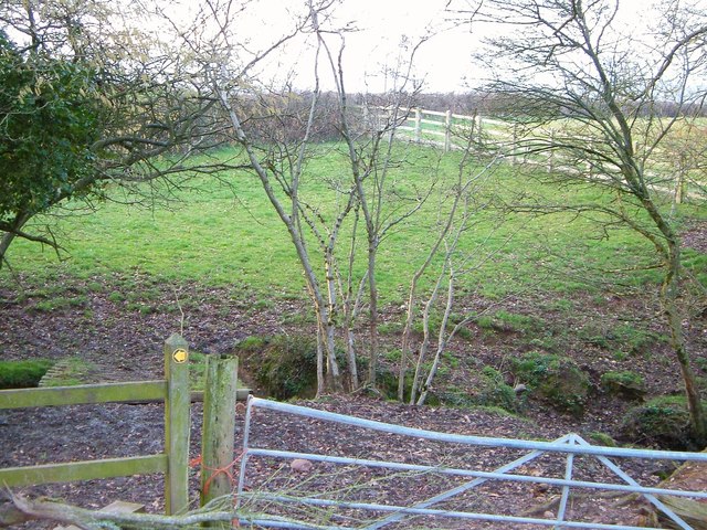
Image: © Derek Harper Taken: 27 Mar 2006
See Image Farringdon Footpath 11 doesn't cross the further stream here (that would be three streams in less than 100 metres) but, as the waymark suggests, turns left if you've made it over stile or through gate.
Images are licensed for reuse under creativecommons.org/licenses/by-sa/2.0
Image Location
Latitude
50.713936
Longitude
-3.382366