Buchanhaven, Peterhead
Introduction
The photograph on this page of Buchanhaven, Peterhead by Jim Davidson as part of the Geograph project.
The Geograph project started in 2005 with the aim of publishing, organising and preserving representative images for every square kilometre of Great Britain, Ireland and the Isle of Man.

There are currently over 7.5m images from over 14,400 individuals and you can help contribute to the project by visiting https://www.geograph.org.uk
Buchanhaven, Peterhead
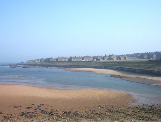
Image: © Jim Davidson Taken: 6 Feb 2003
The Buchanhaven area of the town, viewed from "Ower the Water" which is the golf course side of the River Ugie reached by the Birnie Memorial Bridge as previously submitted in this grid square by Ken Fitlike.
Images are licensed for reuse under creativecommons.org/licenses/by-sa/2.0
Image Location


Leaflet Map data © OpenStreetMap
Latitude
57.516069
Longitude
-1.792828