Path on MOD land, Whitehill
Introduction
The photograph on this page of Path on MOD land, Whitehill by Robin Webster as part of the Geograph project.
The Geograph project started in 2005 with the aim of publishing, organising and preserving representative images for every square kilometre of Great Britain, Ireland and the Isle of Man.

There are currently over 7.5m images from over 14,400 individuals and you can help contribute to the project by visiting https://www.geograph.org.uk
Path on MOD land, Whitehill
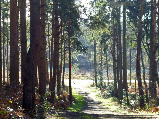
Image: © Robin Webster Taken: 11 Feb 2016
This runs down to the boundary track of the danger area of Woolmer Forest. A red flag is flying, indicating the ranges are in use, so keep out. The boundary track largely follows the course of the old Longmoor Military Railway, which had a loop built for instructional purposes right round the range area.
Images are licensed for reuse under creativecommons.org/licenses/by-sa/2.0
Image Location
Latitude
51.097195
Longitude
-0.866052