Remains of Quebec Barracks, Bordon
Introduction
The photograph on this page of Remains of Quebec Barracks, Bordon by Robin Webster as part of the Geograph project.
The Geograph project started in 2005 with the aim of publishing, organising and preserving representative images for every square kilometre of Great Britain, Ireland and the Isle of Man.

There are currently over 7.5m images from over 14,400 individuals and you can help contribute to the project by visiting https://www.geograph.org.uk
Remains of Quebec Barracks, Bordon
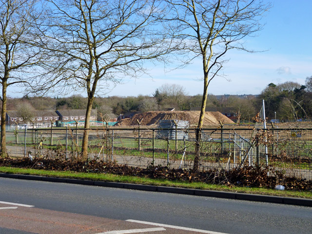
Image: © Robin Webster Taken: 11 Feb 2016
All except two blocks have been reduced to this pile of rubble, prior to private residential redevelopment as Quebec Park, with '100 New Homes'.
Images are licensed for reuse under creativecommons.org/licenses/by-sa/2.0
Image Location
Latitude
51.11871
Longitude
-0.859096