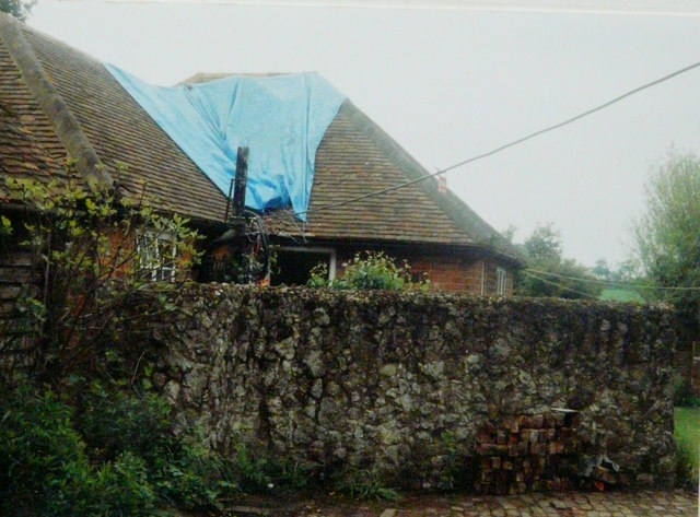
Repairs to Mill End, 1994
Introduction
The photograph on this page of Repairs to Mill End, 1994 by John Baker as part of the Geograph project.
The Geograph project started in 2005 with the aim of publishing, organising and preserving representative images for every square kilometre of Great Britain, Ireland and the Isle of Man.
There are currently over 7.5m images from over 14,400 individuals and you can help contribute to the project by visiting https://www.geograph.org.uk

Image: © John Baker Taken: 24 May 1994
Between Mill End and The Old Mill there was a part brick-paved/ part gravel yard with room for about four medium sized cars. On one side there was a single storey barn with a fifteen foot tall pear tree growing within a few feet of it. My neighbour felt that one of its branches seemed to be rather near the overhead electricity cable, that ran between her house and mine, so she asked a friend if he would cut it off. Unfortunately, as the branch was covered in ivy, it didn’t fall as planned, even though it had a rope attached. Instead it landed on the electricity cable and the weight put unbearable strain on my chimney stack, to which the cable was attached, by means of a bracket, with the result that it was demolished. The electricity board (Seeboard) rigged up a temporary power line to the house and its entry point was covered by a large piece of orange plastic sheeting. I made a claim for £1257.25 to my buildings insurance company for the repairs and this was settled accordingly. This view shows the tarpaulin that was put over the roof to stop rainwater penetration.

