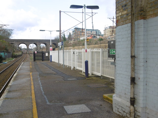
View north from New Southgate station
Introduction
The photograph on this page of View north from New Southgate station by Marathon as part of the Geograph project.
The Geograph project started in 2005 with the aim of publishing, organising and preserving representative images for every square kilometre of Great Britain, Ireland and the Isle of Man.
There are currently over 7.5m images from over 14,400 individuals and you can help contribute to the project by visiting https://www.geograph.org.uk

Image: © Marathon Taken: 10 Feb 2016
The Great Northern Railway opened its line between Maiden Lane and Peterborough on 7th August 1850 on which date what is now New Southgate station opened as Colney Hatch station. The station was provided for the benefit of the Second Middlesex County Asylum being built at Colney Hatch at that time. The name subsequently changed to Southgate and Colney Hatch on 1st February 1855; to New Southgate and Colney Hatch on 1st October 1876; to New Southgate for Colney Hatch on 1st March 1883; to New Southgate and Friern Barnet on 1st May 1923; and finally to New Southgate on 18th March 1971. This view is looking north from near the end of the down slow platform. The fast lines are to the right, beyond the railings. The bridge ahead carries Friern Barnet Road over the four lines. The next station in this direction is Oakleigh Park - see http://www.geograph.org.uk/photo/2529502

