Path to Pymme's Brook
Introduction
The photograph on this page of Path to Pymme's Brook by Marathon as part of the Geograph project.
The Geograph project started in 2005 with the aim of publishing, organising and preserving representative images for every square kilometre of Great Britain, Ireland and the Isle of Man.

There are currently over 7.5m images from over 14,400 individuals and you can help contribute to the project by visiting https://www.geograph.org.uk
Path to Pymme's Brook
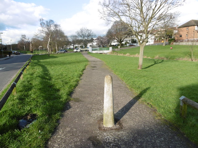
Image: © Marathon Taken: 10 Feb 2016
This path is just beyond Osidge Lane looking towards where Uplands Road crosses Pymme's Brook at the white bridge. West Walk is to the left. This open space is between Brunswick Park to the south and Oak Hill Park to the north. Pymme's Brook is named after William Pymme, a local land owner. The brook rises in Hadley Wood and flows in a south-easterly direction to merge with the River Lee Navigation at Tottenham. Much of the route, including here, is followed by the Pymme's Brook Trail. See https://en.wikipedia.org/wiki/Pymmes_Brook_Trail for more information.
Images are licensed for reuse under creativecommons.org/licenses/by-sa/2.0
Image Location
Latitude
51.632064
Longitude
-0.14664