Foss near the barrier
Introduction
The photograph on this page of Foss near the barrier by DS Pugh as part of the Geograph project.
The Geograph project started in 2005 with the aim of publishing, organising and preserving representative images for every square kilometre of Great Britain, Ireland and the Isle of Man.

There are currently over 7.5m images from over 14,400 individuals and you can help contribute to the project by visiting https://www.geograph.org.uk
Foss near the barrier
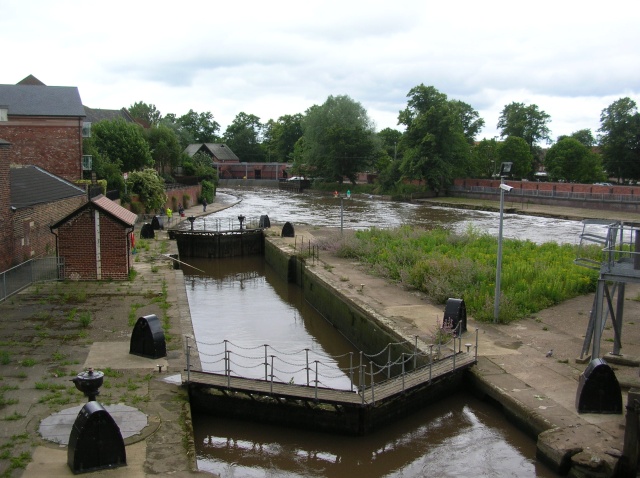
Image: © DS Pugh Taken: 26 Jun 2007
The Foss after passing under the road approaches the Foss barrier. The Foss is seen here following very heavy rainfall.
Images are licensed for reuse under creativecommons.org/licenses/by-sa/2.0
Image Location
Latitude
53.953448
Longitude
-1.078498