Open space near Mud Lane, Cogges, Witney, Oxon
Introduction
The photograph on this page of Open space near Mud Lane, Cogges, Witney, Oxon by P L Chadwick as part of the Geograph project.
The Geograph project started in 2005 with the aim of publishing, organising and preserving representative images for every square kilometre of Great Britain, Ireland and the Isle of Man.

There are currently over 7.5m images from over 14,400 individuals and you can help contribute to the project by visiting https://www.geograph.org.uk
Open space near Mud Lane, Cogges, Witney, Oxon
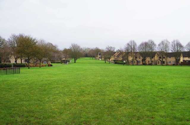
Image: © P L Chadwick Taken: 31 Jan 2016
There are a few paths around the edges and across this open space. The housing on the left is in Wadards Meadow. That on the right is in Oxlease.
Images are licensed for reuse under creativecommons.org/licenses/by-sa/2.0
Image Location
Latitude
51.784335
Longitude
-1.474162