Tafarn Red Lion Public House
Introduction
The photograph on this page of Tafarn Red Lion Public House by Alan Richards as part of the Geograph project.
The Geograph project started in 2005 with the aim of publishing, organising and preserving representative images for every square kilometre of Great Britain, Ireland and the Isle of Man.

There are currently over 7.5m images from over 14,400 individuals and you can help contribute to the project by visiting https://www.geograph.org.uk
Tafarn Red Lion Public House
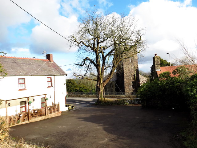
Image: © Alan Richards Taken: 10 Feb 2016
Maes parcio Tafarn y Red Lion gydag Eglwys Llannon yn y cefndir. Red Lion car park with Llannon Church (trans. church of Saint Non) in the background.
Images are licensed for reuse under creativecommons.org/licenses/by-sa/2.0
Image Location
Latitude
51.755807
Longitude
-4.118268