Inverugie Brig
Introduction
The photograph on this page of Inverugie Brig by Jim Davidson as part of the Geograph project.
The Geograph project started in 2005 with the aim of publishing, organising and preserving representative images for every square kilometre of Great Britain, Ireland and the Isle of Man.

There are currently over 7.5m images from over 14,400 individuals and you can help contribute to the project by visiting https://www.geograph.org.uk
Inverugie Brig
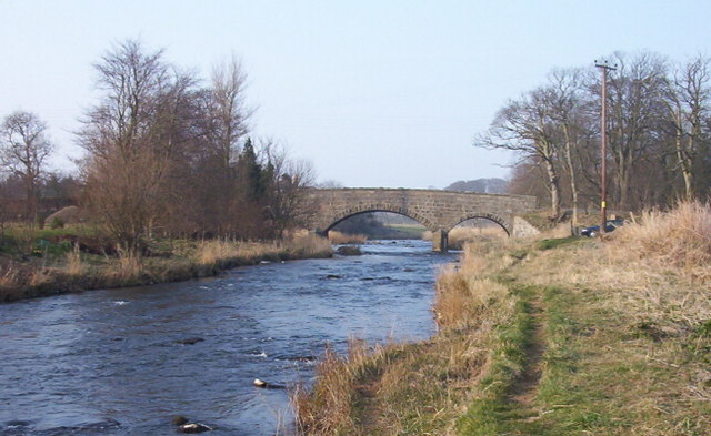
Image: © Jim Davidson Taken: 6 Feb 2003
The bridge over the River Ugie at Inverugie. Inverugie Castle remains are about half a mile along the road to the right and the ruins of Ravenscraig Castle Image are situated in the middle distance behind the highest trees on the left.
Images are licensed for reuse under creativecommons.org/licenses/by-sa/2.0
Image Location


Leaflet Map data © OpenStreetMap
Latitude
57.523584
Longitude
-1.833024