Track to the mill
Introduction
The photograph on this page of Track to the mill by Bob Harvey as part of the Geograph project.
The Geograph project started in 2005 with the aim of publishing, organising and preserving representative images for every square kilometre of Great Britain, Ireland and the Isle of Man.

There are currently over 7.5m images from over 14,400 individuals and you can help contribute to the project by visiting https://www.geograph.org.uk
Track to the mill
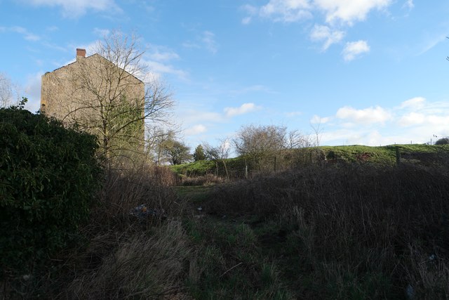
Image: © Bob Harvey Taken: 29 Jan 2016
End elevation of the crumbling building in Image The flat-topped field on the right is the one containing animals in Image The landscape here appears artificial. I think that the road past the house is a natural old stream-course, but this slope up to the mill is a constructed access road.
Images are licensed for reuse under creativecommons.org/licenses/by-sa/2.0
Image Location
Latitude
53.226755
Longitude
-1.18195