Wolverhampton High Level
Introduction
The photograph on this page of Wolverhampton High Level by Ray Durrant as part of the Geograph project.
The Geograph project started in 2005 with the aim of publishing, organising and preserving representative images for every square kilometre of Great Britain, Ireland and the Isle of Man.

There are currently over 7.5m images from over 14,400 individuals and you can help contribute to the project by visiting https://www.geograph.org.uk
Wolverhampton High Level
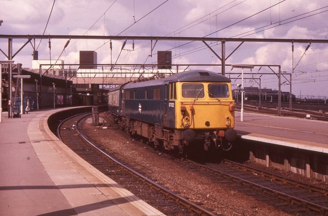
Image: © Ray Durrant Taken: 18 Aug 1974
Up express headed by 87022
Images are licensed for reuse under creativecommons.org/licenses/by-sa/2.0
Image Location
Latitude
52.587663
Longitude
-2.119957