New facilities at Llewetrog
Introduction
The photograph on this page of New facilities at Llewetrog by Jonathan Billinger as part of the Geograph project.
The Geograph project started in 2005 with the aim of publishing, organising and preserving representative images for every square kilometre of Great Britain, Ireland and the Isle of Man.

There are currently over 7.5m images from over 14,400 individuals and you can help contribute to the project by visiting https://www.geograph.org.uk
New facilities at Llewetrog
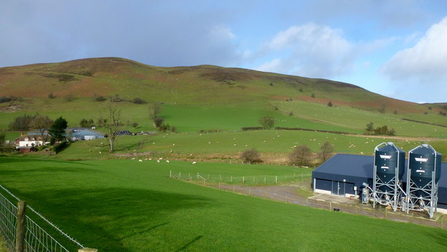
Image: © Jonathan Billinger Taken: 2 Feb 2016
The main farm is over to the left, at the foot of Llanbedr Hill (479m).
Images are licensed for reuse under creativecommons.org/licenses/by-sa/2.0
Image Location
Latitude
52.112296
Longitude
-3.28005