Cleared forest above Brwynen
Introduction
The photograph on this page of Cleared forest above Brwynen by Bill Boaden as part of the Geograph project.
The Geograph project started in 2005 with the aim of publishing, organising and preserving representative images for every square kilometre of Great Britain, Ireland and the Isle of Man.

There are currently over 7.5m images from over 14,400 individuals and you can help contribute to the project by visiting https://www.geograph.org.uk
Cleared forest above Brwynen
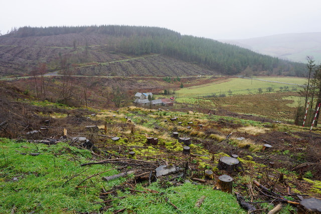
Image: © Bill Boaden Taken: 5 Feb 2016
Brwynen was a small farm with its fields entirely surrounded by forest. The map shows the path continuing down this slope to the farm, but there is not much evidence of that in practice, with a good track keeping to the hillside.
Images are licensed for reuse under creativecommons.org/licenses/by-sa/2.0
Image Location
Latitude
52.78265
Longitude
-3.435752