Eglwys Sant Mihangel
Introduction
The photograph on this page of Eglwys Sant Mihangel by Donald Perkins as part of the Geograph project.
The Geograph project started in 2005 with the aim of publishing, organising and preserving representative images for every square kilometre of Great Britain, Ireland and the Isle of Man.

There are currently over 7.5m images from over 14,400 individuals and you can help contribute to the project by visiting https://www.geograph.org.uk
Eglwys Sant Mihangel
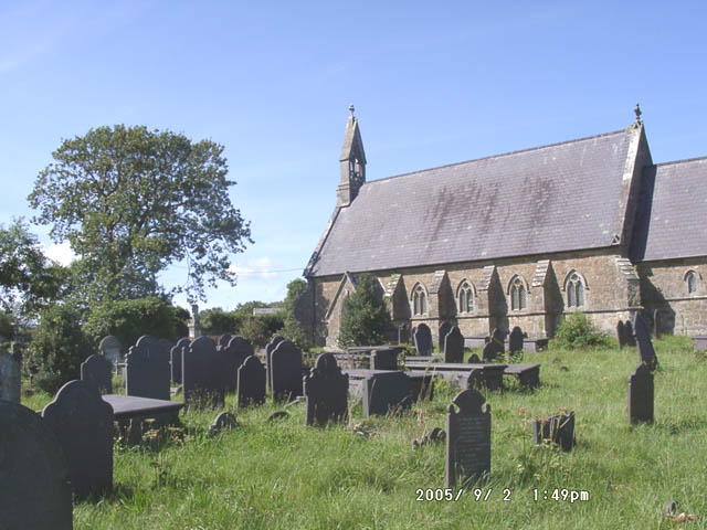
Image: © Donald Perkins Taken: 2 Sep 2005
Church roof and gravestone monuments are all in traditional Welsh Slate.
Images are licensed for reuse under creativecommons.org/licenses/by-sa/2.0
Image Location


Leaflet Map data © OpenStreetMap
Latitude
53.223541
Longitude
-4.281258