Huntingtower Hotel and Town Lade
Introduction
The photograph on this page of Huntingtower Hotel and Town Lade by Richard Sutcliffe as part of the Geograph project.
The Geograph project started in 2005 with the aim of publishing, organising and preserving representative images for every square kilometre of Great Britain, Ireland and the Isle of Man.

There are currently over 7.5m images from over 14,400 individuals and you can help contribute to the project by visiting https://www.geograph.org.uk
Huntingtower Hotel and Town Lade
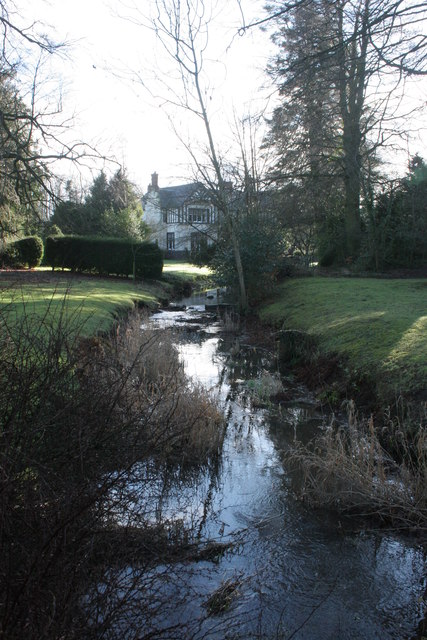
Image: © Richard Sutcliffe Taken: 8 Feb 2016
The lade which runs through the grounds of Huntingtower Hotel runs from the River Almond 300m to the west, all the way into the centre of Perth, where it eventually joins the River Tay. It has existed since at least 1150AD, and powered several mills along its route.
Images are licensed for reuse under creativecommons.org/licenses/by-sa/2.0
Image Location
Latitude
56.414589
Longitude
-3.502792