Railway Street, Comber (February 2016)
Introduction
The photograph on this page of Railway Street, Comber (February 2016) by Albert Bridge as part of the Geograph project.
The Geograph project started in 2005 with the aim of publishing, organising and preserving representative images for every square kilometre of Great Britain, Ireland and the Isle of Man.

There are currently over 7.5m images from over 14,400 individuals and you can help contribute to the project by visiting https://www.geograph.org.uk
Railway Street, Comber (February 2016)
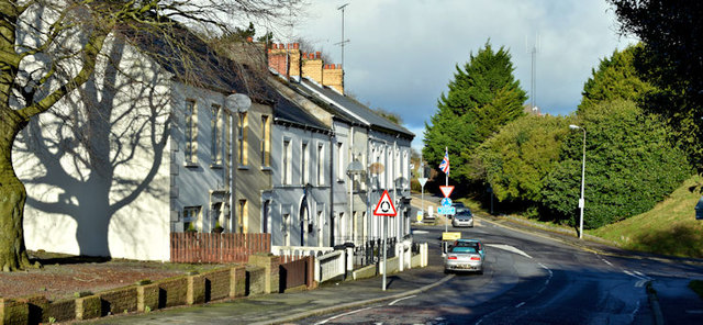
Image: © Albert Bridge Taken: 8 Feb 2016
See Image (May 2009). The northern end of Railway Street from ground level. The Masonic Hall Image is the third building from the left.
Images are licensed for reuse under creativecommons.org/licenses/by-sa/2.0
Image Location
Latitude
54.551338
Longitude
-5.754951