Northfields Tube Station
Introduction
The photograph on this page of Northfields Tube Station by Billy Abbott as part of the Geograph project.
The Geograph project started in 2005 with the aim of publishing, organising and preserving representative images for every square kilometre of Great Britain, Ireland and the Isle of Man.

There are currently over 7.5m images from over 14,400 individuals and you can help contribute to the project by visiting https://www.geograph.org.uk
Northfields Tube Station
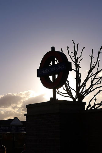
Image: © Billy Abbott Taken: 21 May 2005
The larger of the 2 stations in the grid square and attached to the depot for the west end of the Piccadilly Line.
Images are licensed for reuse under creativecommons.org/licenses/by-sa/2.0
Image Location
Latitude
51.502232
Longitude
-0.308531