Church Road, Baginton
Introduction
The photograph on this page of Church Road, Baginton by E Gammie as part of the Geograph project.
The Geograph project started in 2005 with the aim of publishing, organising and preserving representative images for every square kilometre of Great Britain, Ireland and the Isle of Man.

There are currently over 7.5m images from over 14,400 individuals and you can help contribute to the project by visiting https://www.geograph.org.uk
Church Road, Baginton
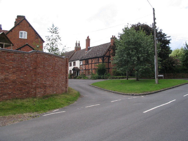
Image: © E Gammie Taken: 29 Jun 2007
Timbered framed cottages and a 'godcake' (triangular island at a T-junction) at the junction of Church Road (foreground and left) with Kimberley Road (off to the right). The timber-frame and brick cottage dates from the late 16th/early 17th century and is grade II listed.
Images are licensed for reuse under creativecommons.org/licenses/by-sa/2.0
Image Location
Latitude
52.369632
Longitude
-1.495736