Bridleway to Lakenheath Warren
Introduction
The photograph on this page of Bridleway to Lakenheath Warren by Bob Jones as part of the Geograph project.
The Geograph project started in 2005 with the aim of publishing, organising and preserving representative images for every square kilometre of Great Britain, Ireland and the Isle of Man.

There are currently over 7.5m images from over 14,400 individuals and you can help contribute to the project by visiting https://www.geograph.org.uk
Bridleway to Lakenheath Warren
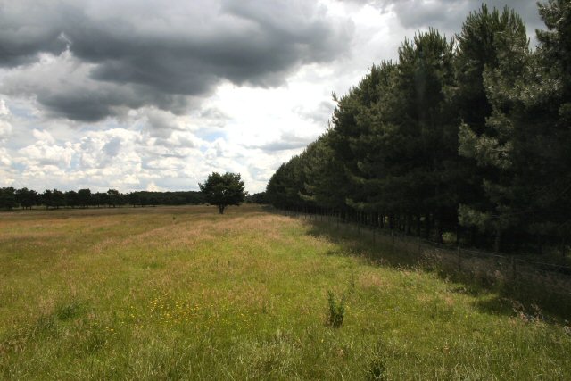
Image: © Bob Jones Taken: 28 Jun 2007
The bridleway runs just inside this wood; the field is open access land between November and March.
Images are licensed for reuse under creativecommons.org/licenses/by-sa/2.0
Image Location
Latitude
52.391393
Longitude
0.566527