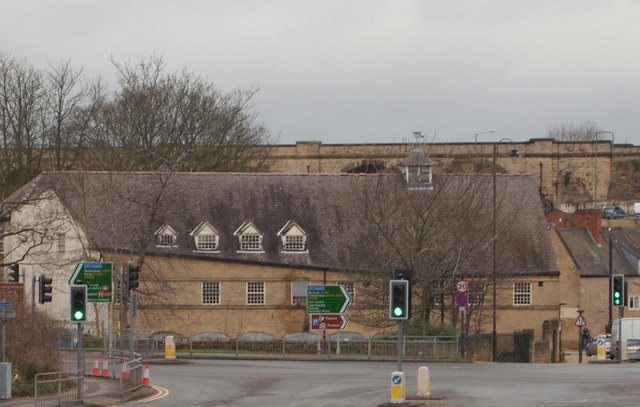
Town Mill, Mansfield, Notts.
Introduction
The photograph on this page of Town Mill, Mansfield, Notts. by David Hallam-Jones as part of the Geograph project.
The Geograph project started in 2005 with the aim of publishing, organising and preserving representative images for every square kilometre of Great Britain, Ireland and the Isle of Man.
There are currently over 7.5m images from over 14,400 individuals and you can help contribute to the project by visiting https://www.geograph.org.uk

Image: © David Hallam-Jones Taken: 7 Feb 2016
A view of the Grade II-listed Town Mill, Bridge Street, i.e. on the opposite side of St Peter's Way. This watermill, built in the 1740s, used the River Maun (behind it) as its source of power. Originally a corn and malt mill, it was converted into a cotton mill in 1795 following the onset of the Industrial Revolution. Following a fire, the two uppermost storeys were demolished and at some point it served as a warehouse until it was restored in the late C20th. It reopened as “The Town Mill” public house & function venue in 2002. It is currently empty, i.e January 2017. A former water mill of c.1775, it was powered by the River Maun. It was restored and converted in the late C20th and has seen service as a public house and a discotheque. It is currently disused and boarded up.

