The course of the Chesterfield Canal
Introduction
The photograph on this page of The course of the Chesterfield Canal by Jonathan Thacker as part of the Geograph project.
The Geograph project started in 2005 with the aim of publishing, organising and preserving representative images for every square kilometre of Great Britain, Ireland and the Isle of Man.

There are currently over 7.5m images from over 14,400 individuals and you can help contribute to the project by visiting https://www.geograph.org.uk
The course of the Chesterfield Canal
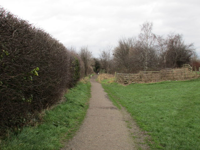
Image: © Jonathan Thacker Taken: 5 Feb 2016
From Walford Road to the fence in the centre of this picture the canal has been infilled and only the towpath remains. Beyond the fence the canal is visible for a couple of hundred metres before a more lengthy stretch of infilling.
Images are licensed for reuse under creativecommons.org/licenses/by-sa/2.0
Image Location


Leaflet Map data © OpenStreetMap
Latitude
53.322447
Longitude
-1.31854