Demolition of Dilton & Oakfield, Broad Oak
Introduction
The photograph on this page of Demolition of Dilton & Oakfield, Broad Oak by John Baker as part of the Geograph project.
The Geograph project started in 2005 with the aim of publishing, organising and preserving representative images for every square kilometre of Great Britain, Ireland and the Isle of Man.

There are currently over 7.5m images from over 14,400 individuals and you can help contribute to the project by visiting https://www.geograph.org.uk
Demolition of Dilton & Oakfield, Broad Oak
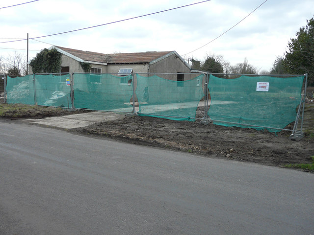
Image: © John Baker Taken: 17 Jan 2016
There have been two Ashford Borough Council planning applications relating to these properties: 11/00707/AS was for “two replacement dwellings and the creation of a new access and 15/01156/AS, was for the “erection of two detached chalet bungalows (lapsed planning permission 11/00707AS) and creation of new access”. This is Image in October 2014.
Images are licensed for reuse under creativecommons.org/licenses/by-sa/2.0
Image Location
Latitude
51.105238
Longitude
0.917069