Directions at the edge of Pucklechurch
Introduction
The photograph on this page of Directions at the edge of Pucklechurch by Jaggery as part of the Geograph project.
The Geograph project started in 2005 with the aim of publishing, organising and preserving representative images for every square kilometre of Great Britain, Ireland and the Isle of Man.

There are currently over 7.5m images from over 14,400 individuals and you can help contribute to the project by visiting https://www.geograph.org.uk
Directions at the edge of Pucklechurch
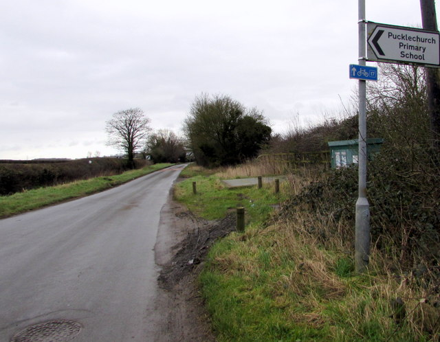
Image: © Jaggery Taken: 5 Feb 2016
Ahead along Feltham Road on National Cycle Network Route 17 or turn left into Castle Road http://www.geograph.org.uk/photo/4817069 for Pucklechurch Primary School.
Images are licensed for reuse under creativecommons.org/licenses/by-sa/2.0
Image Location
Latitude
51.486124
Longitude
-2.429269