Cassiobury Park
Introduction
The photograph on this page of Cassiobury Park by Stephen McKay as part of the Geograph project.
The Geograph project started in 2005 with the aim of publishing, organising and preserving representative images for every square kilometre of Great Britain, Ireland and the Isle of Man.

There are currently over 7.5m images from over 14,400 individuals and you can help contribute to the project by visiting https://www.geograph.org.uk
Cassiobury Park
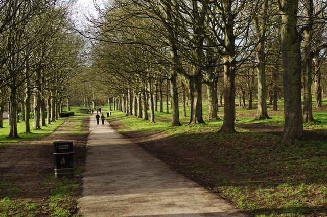
Image: © Stephen McKay Taken: 30 Jan 2016
Looking down towards the paddling pools where the path bends to the left and continues to the River Gade.
Images are licensed for reuse under creativecommons.org/licenses/by-sa/2.0
Image Location
Latitude
51.662522
Longitude
-0.421856