Wheathold
Introduction
The photograph on this page of Wheathold by Pam Brophy as part of the Geograph project.
The Geograph project started in 2005 with the aim of publishing, organising and preserving representative images for every square kilometre of Great Britain, Ireland and the Isle of Man.

There are currently over 7.5m images from over 14,400 individuals and you can help contribute to the project by visiting https://www.geograph.org.uk
Wheathold
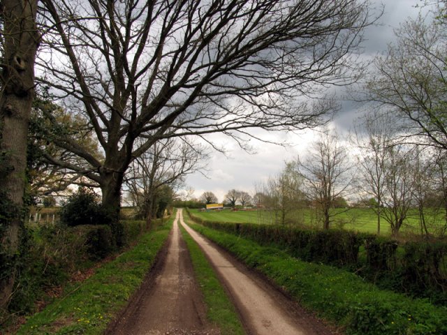
Image: © Pam Brophy Taken: 19 Apr 2005
The lane leads off from the road that crosses the extreme north eastern section of the grid square. This lane runs from north east to south west and is mainly in the north west section of the grid square. The picture was taken looking north east up the road. The buildings on the east side of the road where it joins the road are visible to the right side at the end of the lane.
Images are licensed for reuse under creativecommons.org/licenses/by-sa/2.0
Image Location


Leaflet Map data © OpenStreetMap
Latitude
51.340886
Longitude
-1.204611