Water of Dunbeath
Introduction
The photograph on this page of Water of Dunbeath by Stanley Howe as part of the Geograph project.
The Geograph project started in 2005 with the aim of publishing, organising and preserving representative images for every square kilometre of Great Britain, Ireland and the Isle of Man.

There are currently over 7.5m images from over 14,400 individuals and you can help contribute to the project by visiting https://www.geograph.org.uk
Water of Dunbeath
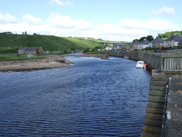
Image: © Stanley Howe Taken: 26 Jun 2007
About to enter the North Sea at Dunbeath Bay. The Portomin quays are on the right; the new bridge carrying the A99 is in the distance.
Images are licensed for reuse under creativecommons.org/licenses/by-sa/2.0
Image Location
Latitude
58.245898
Longitude
-3.42412