Tarrant Close, River Views, Wimborne Minster
Introduction
The photograph on this page of Tarrant Close, River Views, Wimborne Minster by Jules as part of the Geograph project.
The Geograph project started in 2005 with the aim of publishing, organising and preserving representative images for every square kilometre of Great Britain, Ireland and the Isle of Man.

There are currently over 7.5m images from over 14,400 individuals and you can help contribute to the project by visiting https://www.geograph.org.uk
Tarrant Close, River Views, Wimborne Minster
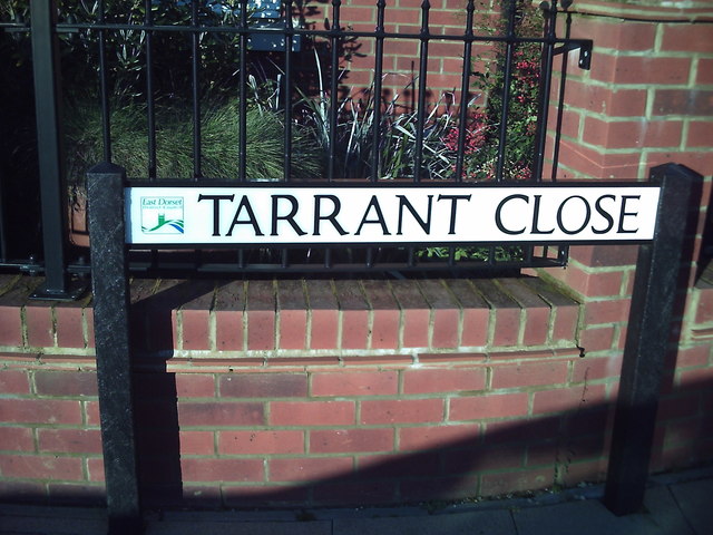
Image: © Jules Taken: 9 Jan 2016
Roads in the River Views development are named after local connections to the former Cobham site.
Images are licensed for reuse under creativecommons.org/licenses/by-sa/2.0
Image Location
Latitude
50.792813
Longitude
-1.970438