Pit Lane
Introduction
The photograph on this page of Pit Lane by Nigel Mykura as part of the Geograph project.
The Geograph project started in 2005 with the aim of publishing, organising and preserving representative images for every square kilometre of Great Britain, Ireland and the Isle of Man.

There are currently over 7.5m images from over 14,400 individuals and you can help contribute to the project by visiting https://www.geograph.org.uk
Pit Lane
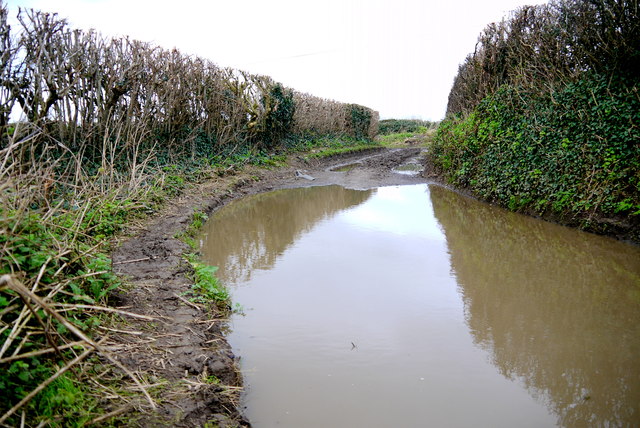
Image: © Nigel Mykura Taken: 30 Jan 2016
This farm track is heavily used and very muddy and as a consequence of the recent heavy rains there was considerable flooding at low points along the lane.
Images are licensed for reuse under creativecommons.org/licenses/by-sa/2.0
Image Location
Latitude
50.932707
Longitude
-2.714878