A path in Gala Policies
Introduction
The photograph on this page of A path in Gala Policies by Jim Barton as part of the Geograph project.
The Geograph project started in 2005 with the aim of publishing, organising and preserving representative images for every square kilometre of Great Britain, Ireland and the Isle of Man.

There are currently over 7.5m images from over 14,400 individuals and you can help contribute to the project by visiting https://www.geograph.org.uk
A path in Gala Policies
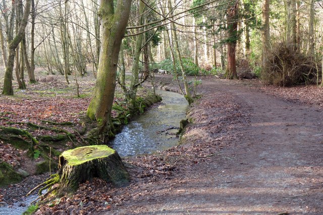
Image: © Jim Barton Taken: 2 Feb 2016
A path through the woodlands that surrounded the former New Gala House, demolished in 1985. It is also on the route of the Southern Upland Way between Melrose and Traquair.
Images are licensed for reuse under creativecommons.org/licenses/by-sa/2.0
Image Location
Latitude
55.612987
Longitude
-2.816125