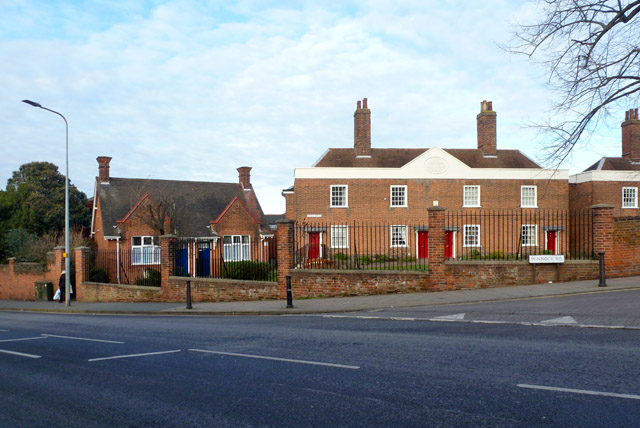
Kendall Almshouses, Colchester
Introduction
The photograph on this page of Kendall Almshouses, Colchester by Robin Webster as part of the Geograph project.
The Geograph project started in 2005 with the aim of publishing, organising and preserving representative images for every square kilometre of Great Britain, Ireland and the Isle of Man.
There are currently over 7.5m images from over 14,400 individuals and you can help contribute to the project by visiting https://www.geograph.org.uk

Image: © Robin Webster Taken: 17 Jan 2016
Two identical large blocks, one and a part of the other visible here, and several smaller houses typified by the building on the left. The large blocks are grade II listed buildings, dated 1791 and 1803 for the one to the right. A detail of the inscription on the pediment for the 1791 building is here Image Rather oddly, the name of the Almshouses (at least for this block) does not correspond to the stated benefactor, Arthur Winsley. However, on older maps, before the smaller houses were built, the two big blocks are indeed called Winsley's Almshouses.

