Quakers Yard information board
Introduction
The photograph on this page of Quakers Yard information board by Jaggery as part of the Geograph project.
The Geograph project started in 2005 with the aim of publishing, organising and preserving representative images for every square kilometre of Great Britain, Ireland and the Isle of Man.

There are currently over 7.5m images from over 14,400 individuals and you can help contribute to the project by visiting https://www.geograph.org.uk
Quakers Yard information board
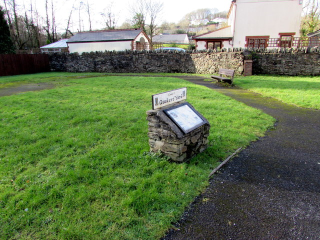
Image: © Jaggery Taken: 30 Jan 2016
The board states that the community of Quakers Yard, near Treharris, takes its name from the Quaker graveyard which opened in 1667. The area had previously been known as Rhyd y Grug (Ford of the Rustling Waters). The ford was a crossing of the River Taff near the confluence http://www.geograph.org.uk/photo/4813660 of the smaller Bargod Taf river.
Images are licensed for reuse under creativecommons.org/licenses/by-sa/2.0
Image Location
Latitude
51.660009
Longitude
-3.306298