East Hall
Introduction
The photograph on this page of East Hall by Paul Garland as part of the Geograph project.
The Geograph project started in 2005 with the aim of publishing, organising and preserving representative images for every square kilometre of Great Britain, Ireland and the Isle of Man.

There are currently over 7.5m images from over 14,400 individuals and you can help contribute to the project by visiting https://www.geograph.org.uk
East Hall
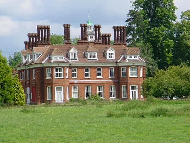
Image: © Paul Garland Taken: 23 Jun 2002
In East Hall Meadow, close by the corner of East Hall Farm is a kissing gate. When the Upcher family lived at the hall, the villagers had to use this gate and the path beyond it to make their approach to the kitchens. The Upcher family used to make weekly distributions to the poor of soup and dripping. The gate then became known as the "Dripping Gate". Still a lovely building but now converted into apartments.
Images are licensed for reuse under creativecommons.org/licenses/by-sa/2.0
Image Location
Latitude
52.491927
Longitude
0.533192