West side of churchyard
Introduction
The photograph on this page of West side of churchyard by Andrew Tatlow as part of the Geograph project.
The Geograph project started in 2005 with the aim of publishing, organising and preserving representative images for every square kilometre of Great Britain, Ireland and the Isle of Man.

There are currently over 7.5m images from over 14,400 individuals and you can help contribute to the project by visiting https://www.geograph.org.uk
West side of churchyard
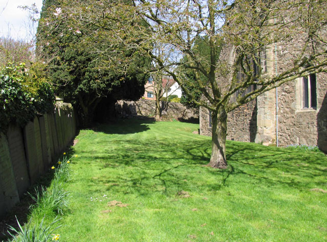
Image: © Andrew Tatlow Taken: 15 Apr 2015
The gravestones have been uprooted and lined up along the boundary walls.
Images are licensed for reuse under creativecommons.org/licenses/by-sa/2.0
Image Location
Latitude
52.685962
Longitude
-1.281295