Windsock, Manor Farm
Introduction
The photograph on this page of Windsock, Manor Farm by Alan Hunt as part of the Geograph project.
The Geograph project started in 2005 with the aim of publishing, organising and preserving representative images for every square kilometre of Great Britain, Ireland and the Isle of Man.

There are currently over 7.5m images from over 14,400 individuals and you can help contribute to the project by visiting https://www.geograph.org.uk
Windsock, Manor Farm
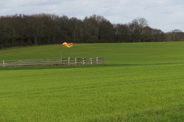
Image: © Alan Hunt Taken: 30 Jan 2016
A windsock associated with the private landing strip near Manor Farm on the Hog's back near Tongham.
Images are licensed for reuse under creativecommons.org/licenses/by-sa/2.0
Image Location
Latitude
51.227991
Longitude
-0.730508