5 -11 (odds) Water Lane
Introduction
The photograph on this page of 5 -11 (odds) Water Lane by Alan Murray-Rust as part of the Geograph project.
The Geograph project started in 2005 with the aim of publishing, organising and preserving representative images for every square kilometre of Great Britain, Ireland and the Isle of Man.

There are currently over 7.5m images from over 14,400 individuals and you can help contribute to the project by visiting https://www.geograph.org.uk
5 -11 (odds) Water Lane
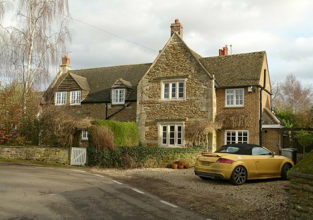
Image: © Alan Murray-Rust Taken: 28 Jan 2016
Although with the appearance of a single house, this is a group of four cottages, two occupying and extended wing to the rear. The oldest part of the building dates back to around 1700, probably comprising the projecting gable, with much of the rest being later 18th century. The brick wing to the right is 20th century. Listed Grade II.
Images are licensed for reuse under creativecommons.org/licenses/by-sa/2.0
Image Location
Latitude
52.712848
Longitude
-0.717304