Access track for Garshake Reservoir
Introduction
The photograph on this page of Access track for Garshake Reservoir by Lairich Rig as part of the Geograph project.
The Geograph project started in 2005 with the aim of publishing, organising and preserving representative images for every square kilometre of Great Britain, Ireland and the Isle of Man.

There are currently over 7.5m images from over 14,400 individuals and you can help contribute to the project by visiting https://www.geograph.org.uk
Access track for Garshake Reservoir
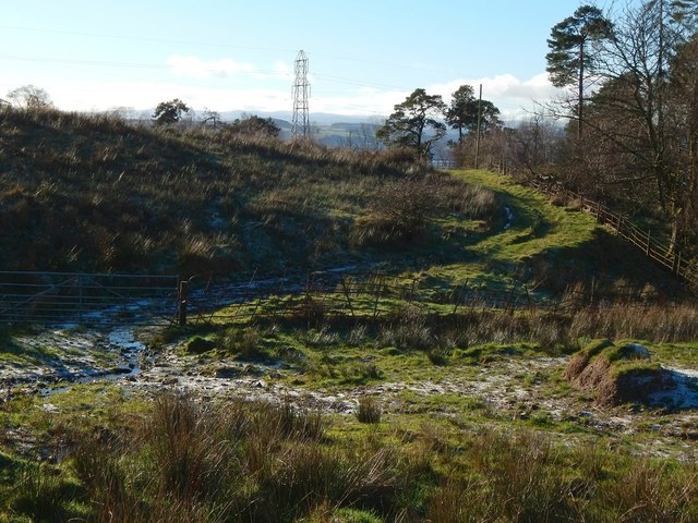
Image: © Lairich Rig Taken: 15 Jan 2016
The track is a continuation of one that passes nearby Garshake Farm. For the reservoir itself, see Image / Image and (distant views) Image / Image The present view is from near the northern corner of the reservoir's enclosure.
Images are licensed for reuse under creativecommons.org/licenses/by-sa/2.0
Image Location
Latitude
55.956616
Longitude
-4.528488