Green Farm name sign, Llanfihangel Rogiet
Introduction
The photograph on this page of Green Farm name sign, Llanfihangel Rogiet by Jaggery as part of the Geograph project.
The Geograph project started in 2005 with the aim of publishing, organising and preserving representative images for every square kilometre of Great Britain, Ireland and the Isle of Man.

There are currently over 7.5m images from over 14,400 individuals and you can help contribute to the project by visiting https://www.geograph.org.uk
Green Farm name sign, Llanfihangel Rogiet
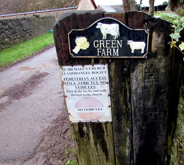
Image: © Jaggery Taken: 24 Jan 2016
On the right side of this http://www.geograph.org.uk/photo/4811814 entrance. Pedestrians can use the route through Green Farm to access St Michael's Church. Vehicle drivers wishing to access the church should park in this http://www.geograph.org.uk/photo/4811706 adjacent layby.
Images are licensed for reuse under creativecommons.org/licenses/by-sa/2.0
Image Location
Latitude
51.587366
Longitude
-2.792371