Ham Street and the Ham Brewery Tap
Introduction
The photograph on this page of Ham Street and the Ham Brewery Tap by Stefan Czapski as part of the Geograph project.
The Geograph project started in 2005 with the aim of publishing, organising and preserving representative images for every square kilometre of Great Britain, Ireland and the Isle of Man.

There are currently over 7.5m images from over 14,400 individuals and you can help contribute to the project by visiting https://www.geograph.org.uk
Ham Street and the Ham Brewery Tap
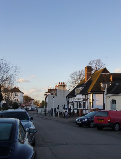
Image: © Stefan Czapski Taken: 30 Jan 2016
View north-west, from a point close to the junction with Lock Road. Not far behind the camera there's a cottage called Image, while the pub is known as the Brewery Tap. Those two names taken together amount to pretty good evidence that there was once a brewery here. The pub looks as if it dates from the 1920s or '30s - a period of rapid residential development around Ham and Petersham.
Images are licensed for reuse under creativecommons.org/licenses/by-sa/2.0
Image Location
Latitude
51.436183
Longitude
-0.311691