Bengeo: Port Vale
Introduction
The photograph on this page of Bengeo: Port Vale by Nigel Cox as part of the Geograph project.
The Geograph project started in 2005 with the aim of publishing, organising and preserving representative images for every square kilometre of Great Britain, Ireland and the Isle of Man.

There are currently over 7.5m images from over 14,400 individuals and you can help contribute to the project by visiting https://www.geograph.org.uk
Bengeo: Port Vale
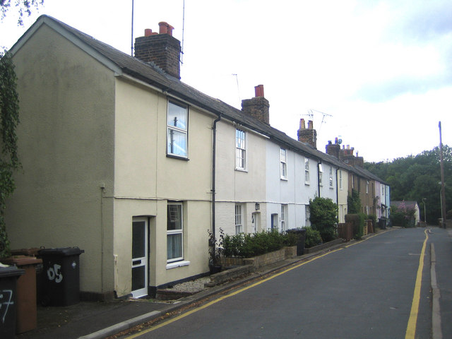
Image: © Nigel Cox Taken: 28 Jun 2007
Port Vale is the intriguing name of an area and this street in Lower Bengeo, north of the River Beane and Hertford.
Images are licensed for reuse under creativecommons.org/licenses/by-sa/2.0
Image Location
Latitude
51.800097
Longitude
-0.08856