Battledown Approach
Introduction
The photograph on this page of Battledown Approach by Nigel Mykura as part of the Geograph project.
The Geograph project started in 2005 with the aim of publishing, organising and preserving representative images for every square kilometre of Great Britain, Ireland and the Isle of Man.

There are currently over 7.5m images from over 14,400 individuals and you can help contribute to the project by visiting https://www.geograph.org.uk
Battledown Approach
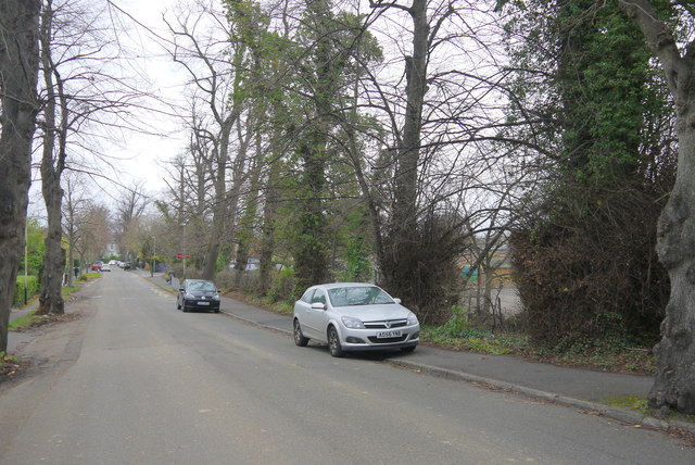
Image: © Nigel Mykura Taken: 10 Dec 2015
This is the lower (western) end of the street which runs east from hale's rd and then splits into Oakley Rd, Birchley Rd and Stanley Rd running up the hill onto Battledown.
Images are licensed for reuse under creativecommons.org/licenses/by-sa/2.0
Image Location
Latitude
51.896085
Longitude
-2.056049