Red Lane, leading into Nymans Woods
Introduction
The photograph on this page of Red Lane, leading into Nymans Woods by Christopher Hilton as part of the Geograph project.
The Geograph project started in 2005 with the aim of publishing, organising and preserving representative images for every square kilometre of Great Britain, Ireland and the Isle of Man.

There are currently over 7.5m images from over 14,400 individuals and you can help contribute to the project by visiting https://www.geograph.org.uk
Red Lane, leading into Nymans Woods
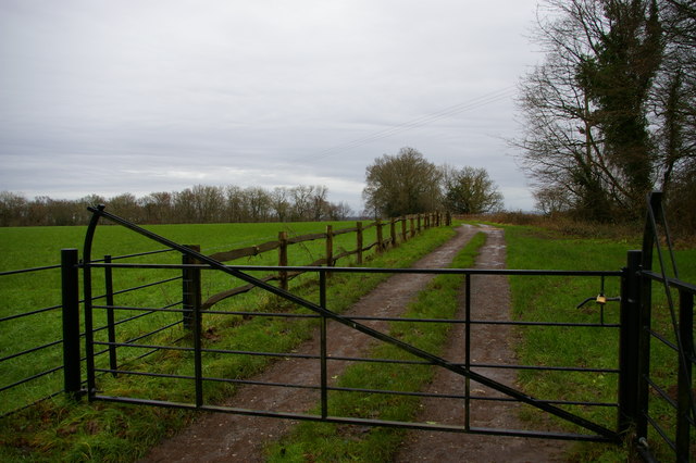
Image: © Christopher Hilton Taken: 30 Jan 2016
The lane apparently takes its name from the red-brick rubble out of which it was constructed. It leads into the Nymans woods and provides access to the National Trust's Woodlands Cottage, a holiday cottage occupying the former gamekeeper's house.
Images are licensed for reuse under creativecommons.org/licenses/by-sa/2.0
Image Location
Latitude
51.057134
Longitude
-0.196802