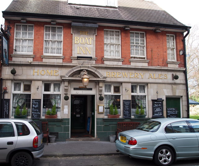
Priory Street, Dunkirk, Nottingham
Introduction
The photograph on this page of Priory Street, Dunkirk, Nottingham by David Hallam-Jones as part of the Geograph project.
The Geograph project started in 2005 with the aim of publishing, organising and preserving representative images for every square kilometre of Great Britain, Ireland and the Isle of Man.
There are currently over 7.5m images from over 14,400 individuals and you can help contribute to the project by visiting https://www.geograph.org.uk

Image: © David Hallam-Jones Taken: 30 Jan 2016
Apparently the Boat Inn featured in White’s directory in 1832. Originally the water used to make the beer was drawn from a well in the yard adjoining Priory Church's graveyard. However, following Lenton's incorporation into Nottingham in 1877 the authorities condemned the well because of its close proximity to the graveyard and the publican was forced to use tap water. Home Brewery eventually bought the pub in 1916. The inn, it seems, was remodelled in 1922/23 and again in the 1970s. The pub is situated in a cul de sac - to the right - and within a stone's throw of the A6005, a.k.a. Abbey Road in the opposite direction.

