Footpath towards Shortheath Common
Introduction
The photograph on this page of Footpath towards Shortheath Common by Robin Webster as part of the Geograph project.
The Geograph project started in 2005 with the aim of publishing, organising and preserving representative images for every square kilometre of Great Britain, Ireland and the Isle of Man.

There are currently over 7.5m images from over 14,400 individuals and you can help contribute to the project by visiting https://www.geograph.org.uk
Footpath towards Shortheath Common
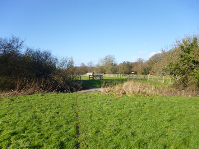
Image: © Robin Webster Taken: 30 Jan 2016
Ahead is a concrete slab bridge over Oakhanger Stream. To the right, beyond the bush, is another apparently older bridge. Only one bridge is mapped, and it is a puzzle which is the official footpath crossing. If sticking to the mapped footpath line, either bridge would involve climbing a post and rail fence to one side or the other of the stream. I came one way and went the other.
Images are licensed for reuse under creativecommons.org/licenses/by-sa/2.0
Image Location
Latitude
51.117453
Longitude
-0.896846