Urban open space, Holbeck
Introduction
The photograph on this page of Urban open space, Holbeck by Stephen Craven as part of the Geograph project.
The Geograph project started in 2005 with the aim of publishing, organising and preserving representative images for every square kilometre of Great Britain, Ireland and the Isle of Man.

There are currently over 7.5m images from over 14,400 individuals and you can help contribute to the project by visiting https://www.geograph.org.uk
Urban open space, Holbeck
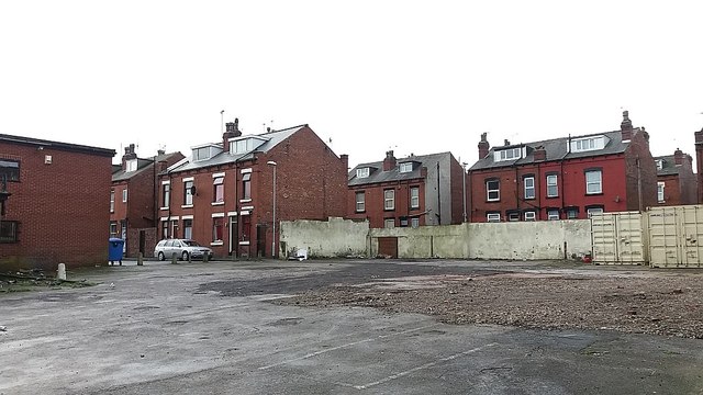
Image: © Stephen Craven Taken: 23 Jan 2016
Between Top Moor Side and Crosby View is this vacant site, that presumably had a building on it at one time and later used as a car park.
Images are licensed for reuse under creativecommons.org/licenses/by-sa/2.0
Image Location
Latitude
53.784866
Longitude
-1.559979