Former engine house, Oats Royd Mill, Midgley
Introduction
The photograph on this page of Former engine house, Oats Royd Mill, Midgley by Humphrey Bolton as part of the Geograph project.
The Geograph project started in 2005 with the aim of publishing, organising and preserving representative images for every square kilometre of Great Britain, Ireland and the Isle of Man.

There are currently over 7.5m images from over 14,400 individuals and you can help contribute to the project by visiting https://www.geograph.org.uk
Former engine house, Oats Royd Mill, Midgley
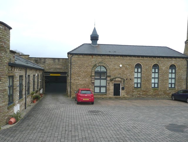
Image: © Humphrey Bolton Taken: 29 Jan 2016
This powered the weaving shed behind. See also Image for an earlier view. See Image for the date stone over the entrance to the former weaving shed.
Images are licensed for reuse under creativecommons.org/licenses/by-sa/2.0
Image Location
Latitude
53.735954
Longitude
-1.941751